 |
| After identifying MN landform features, major cities, and neighboring states and Canada, students tried to draw Minnesota free hand. |

  |
| This MN map was used to get to know the state. I ran copies on tagboard and cut them out as patterns to trace on cardboard for salt maps. |
 |
| This is an excellent map showing the elevations differences of MN. Notice the arrowhead area and the rugged Sawtooth Mountains of the north shore of Lake Superior. |
 |
| Students fill in their map with salt dough. I made the dough the night before. |

 |
| This is a salt map of AK showing landforms. Once the salt dough dries, we paint around the map. |
 |
| Using a colored elevation map allows students to create their own salt dough maps. |


 |
| Using water color paints to paint MN landform map is fun! |
 |
| We started with our rivers... |
 |
| Lower river valleys are lighter and higher elevations (MN Arrowhead) is dar |


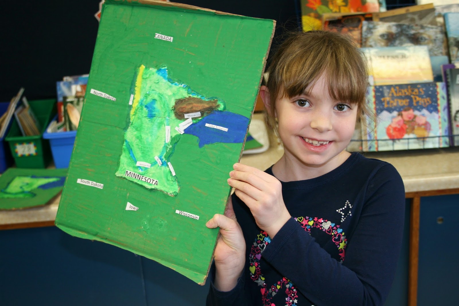 |
| At last we label our map. |
 |
| It is fun to know about the Beargrease trail and about MN. |
 |
| This is when we studied AK and the Iditarod. Compare and contrast MN and AK, the Beargrease with the Iditarod. |
No comments:
Post a Comment